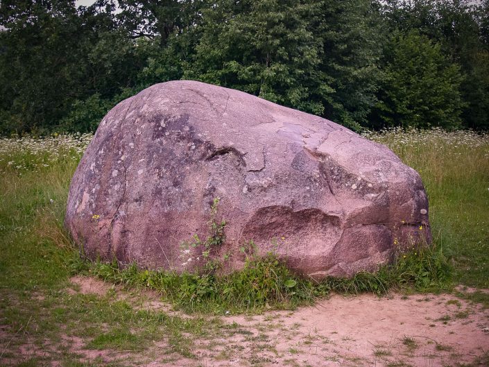
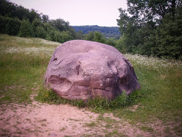
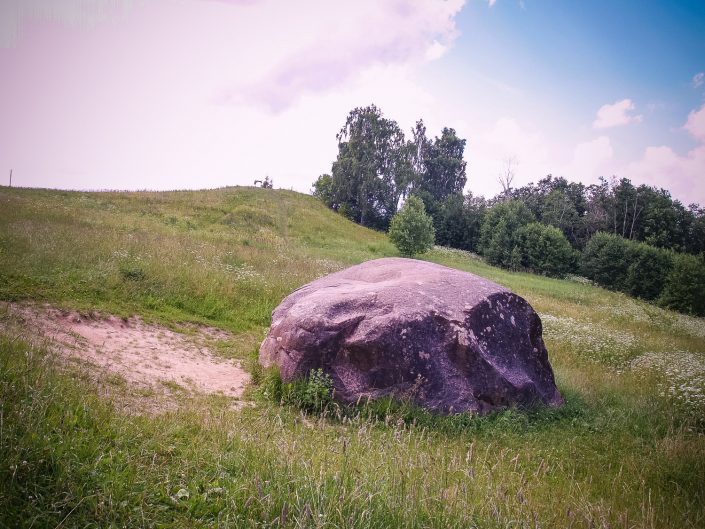
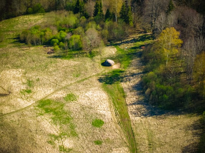
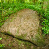
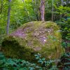
The circumference of the Melderi Devil’s Stone is 15 m, height about 2 m. From the stone, there is a broad view to the Abava Vale. In 1976 by the stone, there were minor archaeological excavation works conducted. It was established that in the course of time by the stone a rather deep cultural layer formed mixed up with tiny pieces of coal. It also covered up a small stone pile by the stone itself, which was heaped there to climb the stone more easily. During the excavation works, there were fragments of a bronze bracelet found dating back to 2nd – 4th centuries. Also by the path leading to the nearby Devil’s Cave before the World War II, there was a bronze horseshoe-shaped sakta (brooch) found. It is not known whether these items were brought there as offerings or just lost by chance in the past. Folklore about the Devil’s activities is related to the Devil’s Stone and the nearby Devil’s Cave. Unfortunately, in older times in order to make the Devil’s Stone more impressive, the ground, namely, the cultural layer, near the stone was dug off in the shape of a bowl and piled into a hillock not far from the stone, which was meant as a place for sightseeing the Abava Vale. Thus all yet undiscovered archaeological artefacts had been destroyed and the ancient micro-landscape by the Devil’s Stone had been substantially hindered and destroyed.
On the left bank of the Abava River by the Melderi homestead (Aizdzire Village Council) in the area of 7 m2, there were test barholes made by the Devil’s Stone and up to 0.65 m deep ground layer mixed up with tiny pieces of coal established, in which a narrow and thin bronze bracelet of the Early Bronze Age with segemtationary cross-section was found. At the southern side of the stone, there was a stone pile dug out containing fist size stones. They had been apparently piled up in order to easier climb the large stone, the circumference of which at the ground is 15 m, height in the northern part – 1.90 m. By the Devil’s Stone in the Abava side ravine, there is a 6.6 m deep Devil’s Cave. J. Urtāns. Investigating Archaeological Monuments in Tukums, Limbaži, Saldus and Ogre Districts. Material on the Results of the Archaeologists and Ethnographers’ Expedition of 1976 – Riga, Zinātne, 1977, p. 69 (68–73).
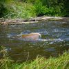
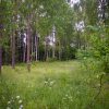
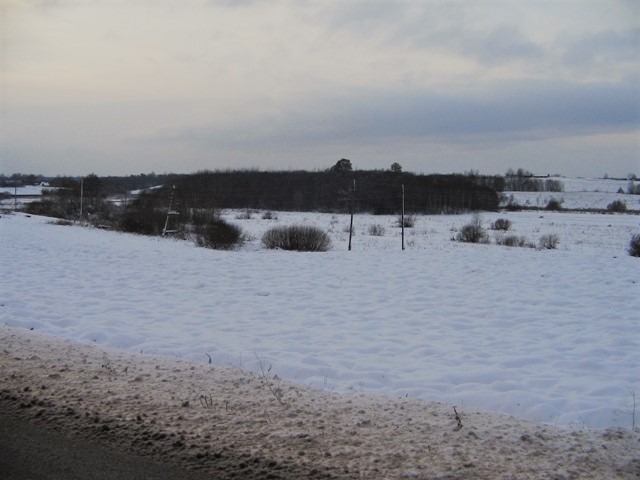
There are three sequential indication signs to the Devil’s Stone by the edge of the Plosti – Aizdzire highway, which help to find the stone easily. By the highway, there is a parking lot facilitated with a sign indicating the Devil’s Stone and the Devil’s Cave. Earlier there was a more detailed information stand, which is no longer there. A mown path leads from the parking lot to the stone, at the end of which the stone is well visible. Downwards the stone, the steep bank of the Avaba Vale appears, along which a well-trodden path goes downwards to the Abava River. By the path, there are no information signs about nearness of the Abava River and the Devil’s Cave.
Contains information from the project:

Added by
www.latvijas-pilskalni.lv, www.senvietas.lv un hillforts.eu izveidotājs un uzturētājs.
