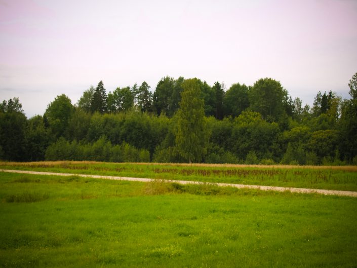
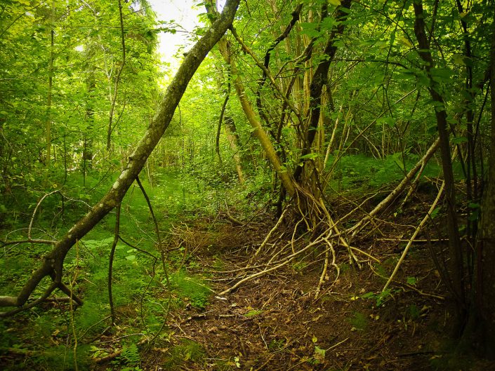
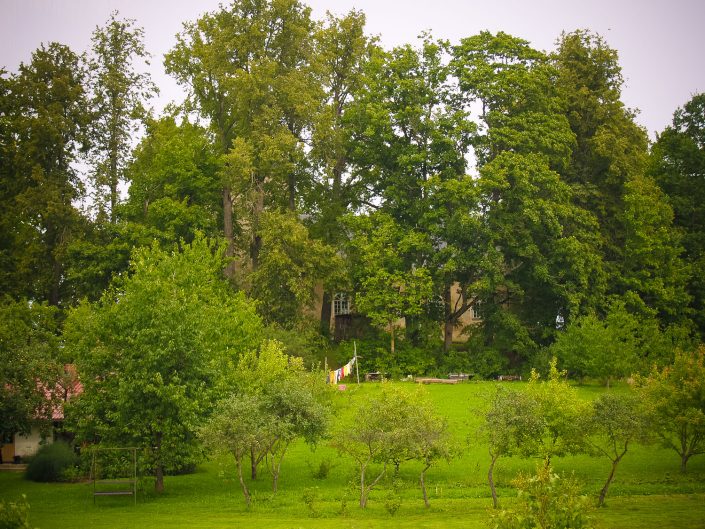
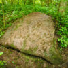
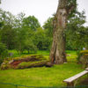
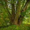
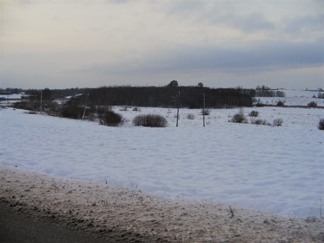
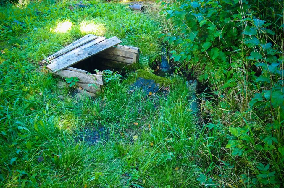
According to the plan the Church Hill is a triangular hill situated at the north side of a larger elevation. The length of the hill in the E – W direction is 55 m, the width in the eastern end is 10 m, in the western end – 20 m. The south slope is about 5 m high, north slope – around 7 m high. The SE foot features a small bog which in the recent times has been drained with a 3 m deep ditch, by digging the N side of the elevation eastwards from the Church Hill. To the E of the hill there was a nobility graveyard – Zemīte priests’ cemetery which was destroyed in later times. The NW slope of the hill features several ancient excavation holes, but at the W end – there is a big World War II bunker pit. Legends say that in ancient times there used to be a graveyard and that it used to be called the Church Hill (there was a church) or Birch-tree Hill (birches grew here). Nowadays the local people remember only the old graveyard on this hill. The function of the Church Hill is unclear, however, it might have also had a sacral function.
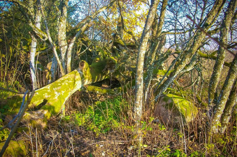
Currently along the S side of the hillock a trodden path runs, but otherwise it has overgrown with deciduous trees and underbrush. There are no signs or directions informing about the Church Hill, although otherwise it can be easily reached along the big road and passable along the trodden path.
Contains information from the project:

Added by
www.latvijas-pilskalni.lv, www.senvietas.lv un hillforts.eu izveidotājs un uzturētājs.
