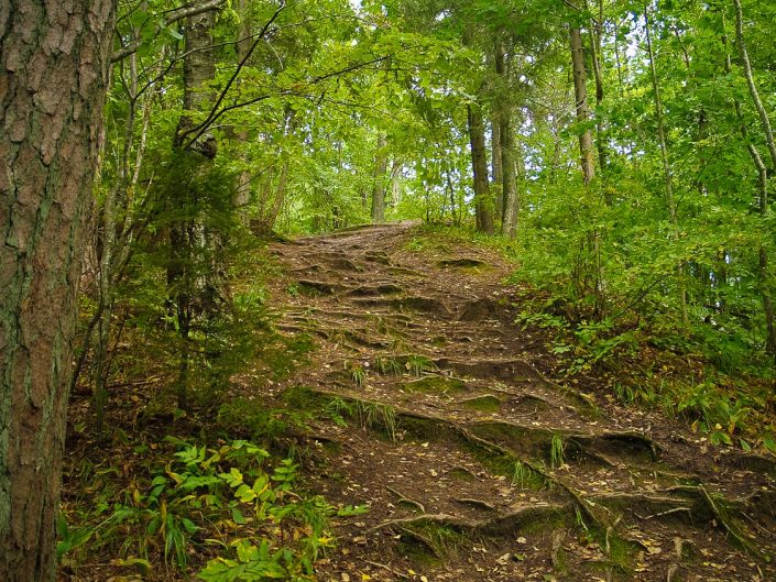
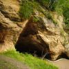
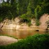
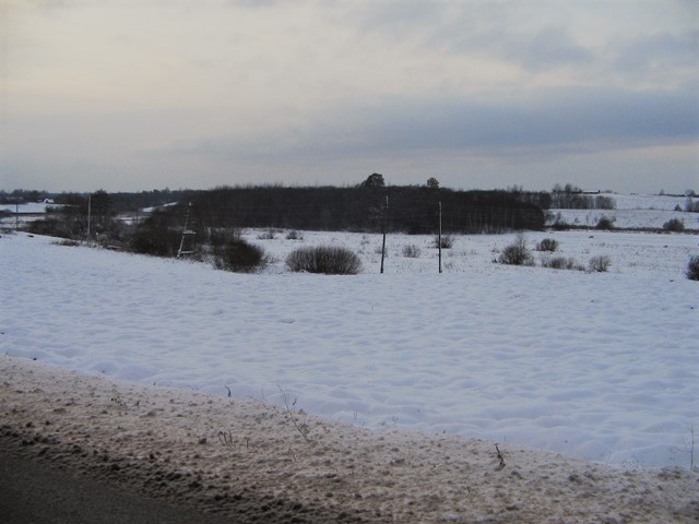
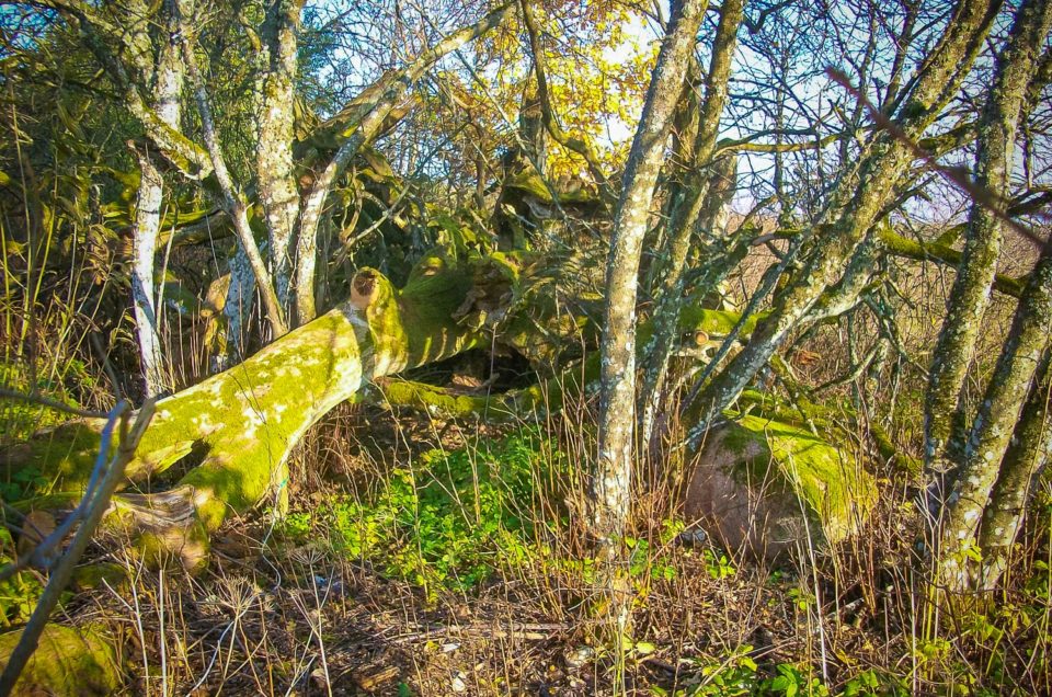
Turaida Idol’s Hill which is more often called Rata kakts or Rata kalns (Wheel Corner or Wheel Hill), the same as a vaster upland, is situated on the right bank of the Gauja River and has been mentioned in literature since the 19th century. The Wheel Corner was more comprehensively described by K.Rozītis by referring to it as “a hillfort-like construction”. Already since the end of the 19th century it has been maintained that another name for the hill was the Idol’s Hill, which suggests its sacral character. It is mentioned that the hill has as if also been called the Sacred or God’s Hill. Here, at the brink of the old bank of the Gauja River there are two significant places which as if have been confused in various writings and as a result now it is not any more possible to tell which of them is the actual Idol’s Hill. One of them is the elevation currently called Taurētāju kalns (Trumpeters’ Hill), and the other which is located higher, next to the elevation plateau is separated by a side ravine and is now called Rata kalns (Wheel Hill). It is more likely that the place to be associated with sacrality is the current Trumpeters’ Hill which has acquired its name as an ancient watching site. It is a detached piece of the Vikmeste River ravine and its side ravine, in the SW corner of which there is a spot with the signs of artifical decoration. In the narrowest spot from the side of the plateau is separated by a 2 – 3 m deep ditch which bends into the hill slopes and with a meter high dam in front of which there is another ditch that has filled up with sand. Other slopes are steep by nature and as high as several tens of metres therefore they have not been artifically made steeper. The longish and rounded, generally levelled, however, crumpy plateau is about 30 x 10 m large. In its SE end there is a big destruction hole. All the plateau, ditches and dams have been trodden by people and the top layer of soil has disappeared. In 1946 it was written that the Wheel Corner was encompassed by two dams and two two-metre deep ditches which Mr Rozitis had found levelled off already then. Up to nowadays the dams and ditches evidently have been levelled even further because over the hill and its plateau there are well-trodden tourist paths.This place is identified both as a hillfort as well as place of punishment as well as a shrine, which possibly does not exclude each other, but refer to different time periods. (After: Urtāns, 1995).
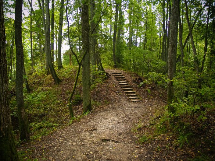
Across the Trumpeter hill there is the previously mentioned pedestrian path and the hill is rather trodden. On the hill a shed has been built with a bench; there is an information plate where the possible sacral significance of the hill is not indicated.
Extra materials:
Contains information from the project:

Added by
www.latvijas-pilskalni.lv, www.senvietas.lv un hillforts.eu izveidotājs un uzturētājs.
