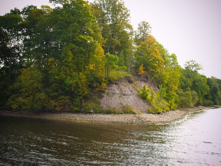
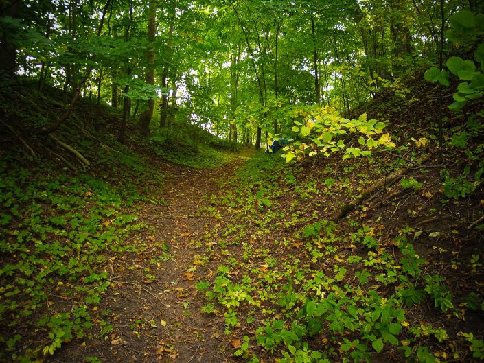
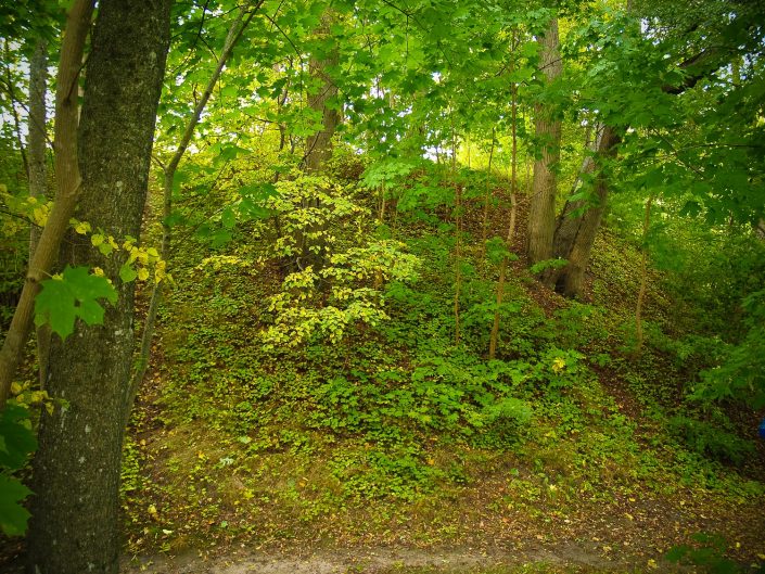
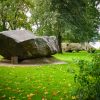
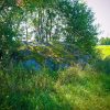
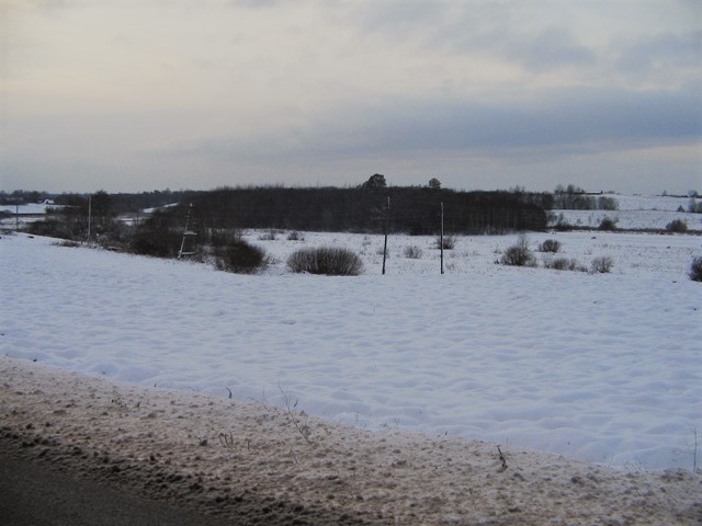
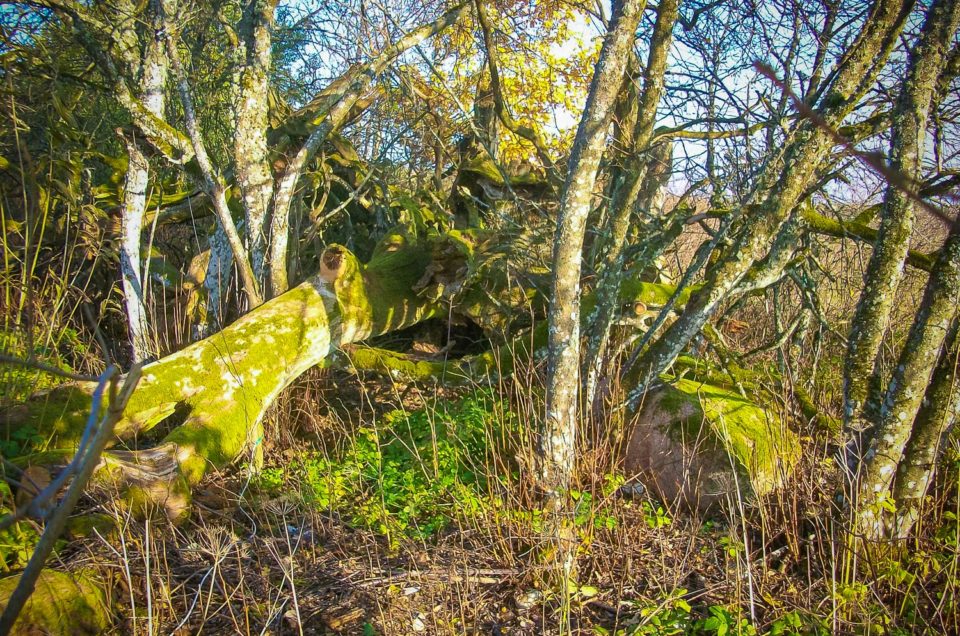
Lielvārde Gods’ Hill, also called Cap Hill, Sacrifice Hill, Trumpeters Hill and Gallows Hill, which was earlier considered the cult site corresponding to Lielvārde Hillfort. The first to describe Lielvārde Gods’ Hill was K. Rozītis in 1942. From 1977 – 1980 archeological excavations took place in the monument under the guidance by A. Zariņa. A big part of Lielvārde Gods’ Hill has fallen into the Daugava and Rumbiņa rivers therefore the initial dimensions of the hillfort cannot be established. The 20 m land corner in the merger of the Daugava and Rumbiņa rivers is separated from the surroundings with a semicircular ditch of 4 – 6 m deep which becomes deeper towards the Daugava and Rumbiņa. Thus an about 8 m high hill is separated, the plateau of which is about 400 m2 large. Visual remains of the dam can be found only on the E slope of the hill. During archeological excavations 5 population layers can be distinguished in Lielvārde Gods’ Hill. The hillfort was inhabited without interruption starting from the middle of the first millenium BC up to the 6th – 7th century AD. The top layer refers to the 12th – 13th century when a fortification of German Crucaders was arranged in the abandoned hillfort by partly levelling its dams and using the masonry technique. In the earliest construction period the border of Lielvārde Gods’ Hill was fortified with an up to 2 m wide, 0.5 – 0.6 m high dam in front of which there was a 0.5 – 0.6 m deep ditch. In the later construction periods the area of the fortification was increased to the dam width (6 – 8 m) and hight (about 4 m), the internal part of the dam is strengthened by a stone layer. On the dam the remains of wooden fortification constructions have been found. It seems that the people have invented the monument names in later times which suggests a change in the hill designation in the medieval times when it possibly had some other sacral meaning. Now the slopes of the Gods’ Hill and the fortification ditch have overgrown with deciduous trees, the small plateau of the hill is empty, but starting to overgrow with grass and bushes. Towards the Daugava River the Gods’ Hill is intensively toppling down because the foot of the hill, unlike that of Lielvārde Hillfort, has not been steadied. In the toppled part an intensive cultural layer is revealed (after: Urtāns, 1995).
Neither at Rīga – Daugavpils highway, nor in Lielvārde Hillfort from which the Gods’ Hill is well visible across the Rumbiņa River, nor at the very Gods’ Hill there are any signs. A significant indicator could be the street named “Dievukalna iela” the name plate of which is well visible from the highway and along which the Gods’ Hill is easily accessible; only at the end of the street the road sign “Driving forbidden” was placed in autumn, 2011 which makes the access difficult. There are two private cottages around the Gods’ Hill and the hill, at least its fortification ditch, is used as an extension to the yard (several boats are placed there as well as compost; on the outer part of the ditch a bathhouse has been built from which there is a path to the Daugava River where at the end of the ditch there is a springboard etc.). Visitors cannot attend the Gods’ Hill without crossing a private territory and meeting the house inhabitants and dogs.
Extra materials:
Contains information from the project:

Added by
www.latvijas-pilskalni.lv, www.senvietas.lv un hillforts.eu izveidotājs un uzturētājs.
