Location
State: Estonia
Region: Muhu Parish
County: Saare
Parish: Muhu
Other references to the location
Nõmmküla, directly to the West of the Liiva-Nõmmküla road.
Coordinates
lat=58.66745782771, lon=23.202369561045
58° 40′ 2″ N, 23° 12′ 8″ E
Description
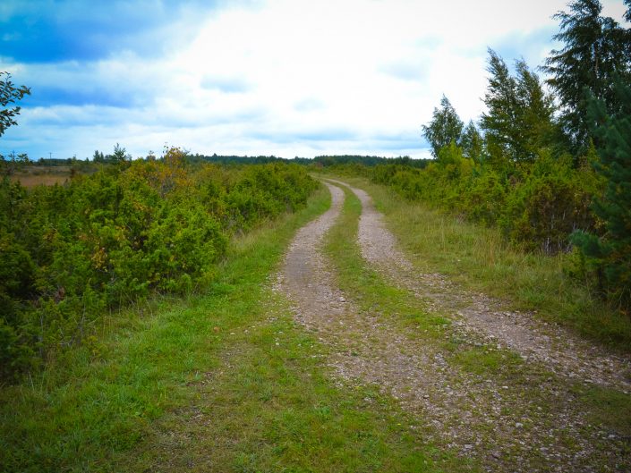
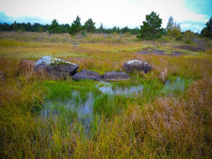
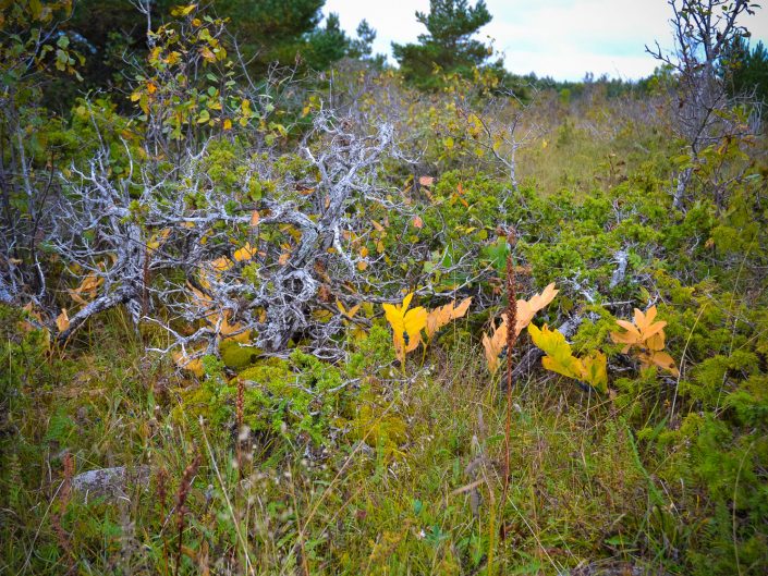
Running from East to West, 660 m long and up to 200 m wide, up to 2 m high, an upland sparsely covered with junipers. Some limestone outcrops and small swamp patches can be found. Coordinates mark the site of the ancient midsummer bonfire. A soil path leads to the top of the hill.
Narrative
The name of the hill – Pühati – refers to being considered sacred. Locals point out a number of erratic boulders near the hill that are said to have been split by lightning. In the past the hill was used as the site of big bonfires of juniper boughs. It was also the site of Soviet army training infrastructure.
Attraction
The unusual landscape with outcrops and rich variety of flora add to the site’s interest.
Availability
Starts directly from the road
Infrastructure, management, facilities
Parking for cars or bus by the side of the gravel road.
Local info
none
Capacity
up to 40
Publicity
Unknown
Legal Status
Private property


